Yesterday a magnitude 7.8 earthquake struck Nepal, devastating the city of Katmandu. International relief efforts are underway, but one way individuals across the web are contributing is through HOTOSM - the Humanitarian OpenStreetMap Team.
Lyzi Diamond came to our Civic Study Hall earlier today to work on tasks for HOTOSM and show people how to help out.
So how does mapping help people on the ground in disaster areas? I’ll let Lyzi explain:
It’s valuable to map the basemap of disaster areas so that supplies and aid can be distributed effectively. Haiti was the first time OpenStreetMap was used to help with aid effort. Volunteers on the ground were providing information and people around the world were mapping. There were even some volunteers translating from Creole to English to help with the mapping effort. The toolset and the dataset are both so easy to use and well-done that you can use it in a disaster area.
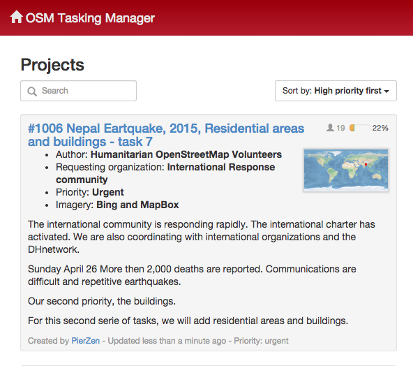
Mapping work gets assigned and completed through tasks.hotosm.org. Here’s how it works:
1. Go to tasks.hotosm.org and pick a task

More recent or important tasks will be at the top of the list.
Be sure to read the instructions for the task, as each task is not only a specific area but also a specific dataset (one task will be mapping roads, other buildings).
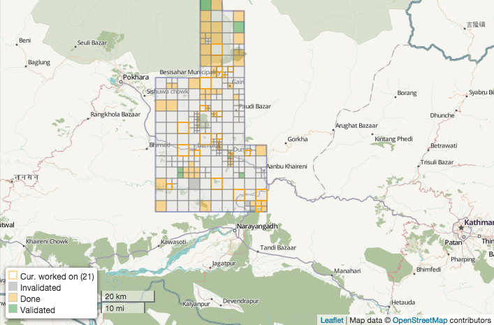
2. Select an area you want to edit

That area is locked for you for two hours. You can unlock it at any time. If you feel like you have finished it, you can mark it as done.
That’s it! Helping to identify roads and buildings and improving the quality of maps in affected areas can make a big difference in helping relief workers and volunteers on the ground identify priorities and deliver aid.
If you’re interested in finding out more about HOTOSM, a lot of information is available on their website. They also post regular updates on twitter.